I gaze upon the Fairfield Horseshoe every time we stop off in Ambleside. As you look northwards from the town, the Fairfield group of fells are displayed in their full glory, inviting you to take on the circular challenge.
A few years ago, myself and crag rat Rainer made a tentative venture onto these fells completing a half-circuit. We started off with a steep pull up the scree slopes of Fairfield before working our way back down along the eastern flank.
This time around with a full day of walking ahead of us, an excellent weather forecast and a table booked at
Zeffirellis for the evening, conditions seemed perfect to tackle this walk. We opted for an anti-clockwise route, setting off from Ambleside and starting with Low Pike. At this point we had glorious sunshine, with just the hint of a breeze to keep us fresh.
As we made our way up the slopes of Low Pike, the wind gradually picked up, but we still enjoyed its cooling effect and it helped us on our climb. Despite its name, as it's name suggests, this is not the highest of fells, and although easily reached, it is quite a sharp pull up, as you get onto the main ridge of this wonderful circuit.
From here navigation is made very simple by a dry stone wall that traces the route for the next few miles. This does restrict views somewhat looking forward, but with an increasing wind, it made for welcome shelter.
Clouds started rolling in, and it seemed that the weather forecast might have omitted some of the facts! The walk up from Low to High Pike is very impressive, with the next goal in clear sight as you gain altitude.
From here, much of the hard work has been done for now, as the path and accompanying wall march onwards over the summit of Dove Crag - which was the subject of the first ever chapter Wainwright wrote for his Pictorial Guides.
Somewhere along here, our faithful companion and wind shelter slowly dwindled away, leaving us exposed to the elements. The next fell on the horseshoe, Hart Crag is a short walk away, but by this time the clouds were rolling in. From here you have choice to either continue towards Fairfield, or an alternative would be to head eastwards to Hartsop Above How and then down towards Brothers Water.
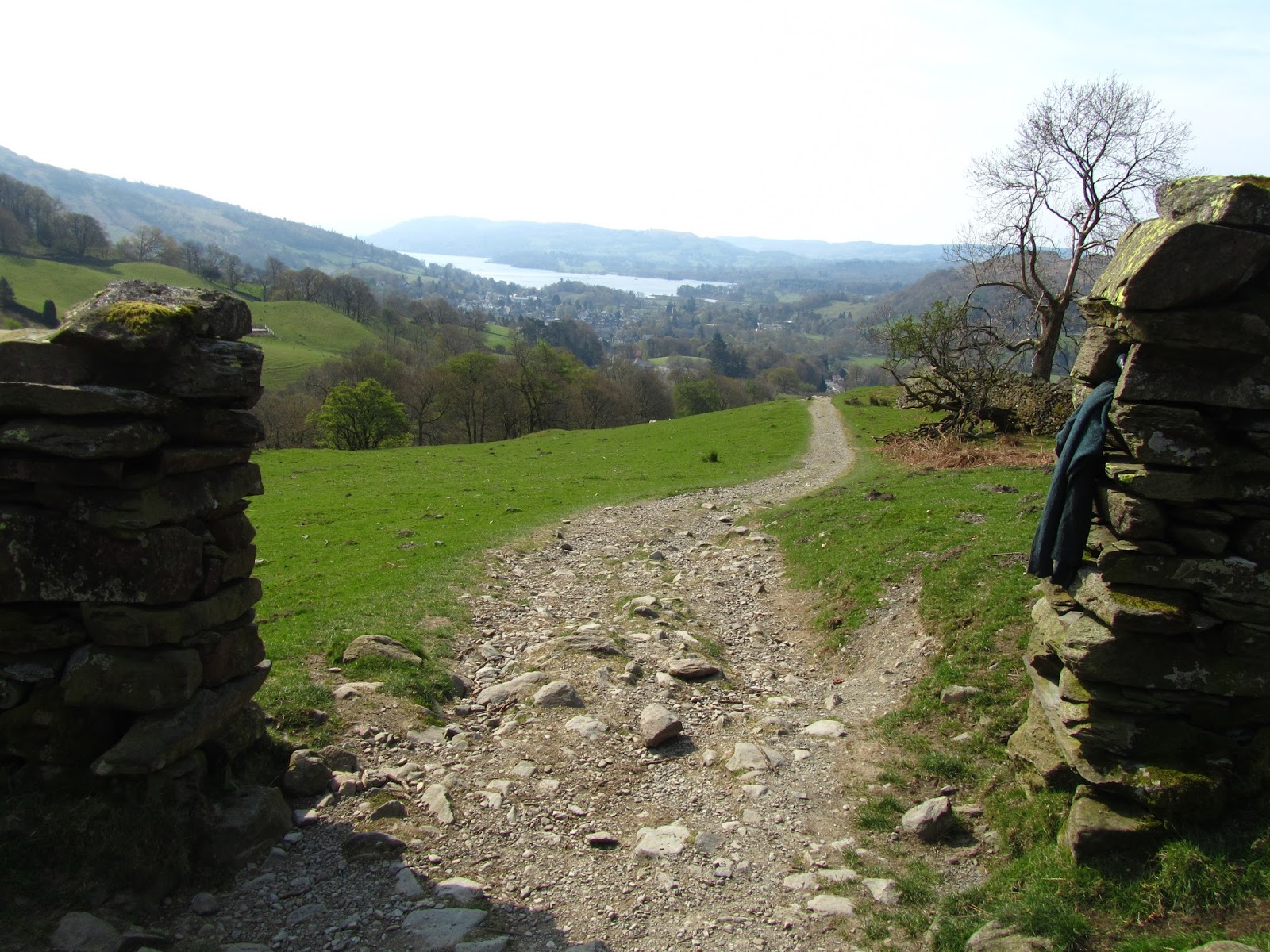
We pressed on towards Fairfield, at this point the winds were getting much stronger and we felt a few drops of rain - what happened to the weather forecast we were promised?!?! Conditions on the vast Fairfield summit platform were pretty bad so the camera didn't come out much except to take this shot down back into the valley.
We had planned on stopping for lunch, but after visiting the summit cairns and shelters we decided it would be better to head for lower ground, so on we marched onwards on the return leg of the horseshoe.
This is a very spectacular ridge and it's not hard to see why it is so popular, but today things were very quiet up here with the howling winds, and its fair to say we were glad it was a wide ridge rather than a narrow crest of rock!
Onwards and over Great Rigg and Heron Pike and there was no let-up, so not much of a chance to stop and take in the views.
Even on lowly Nab Scar we still had a howling gale to contend with, but we did manage to find a spot of shelter for lunch.
Soon enough afterwards, we were back down off the higher ground on the valley floor, where we stopped at the very picturesque
tea shop at Rydal Hall for a warming cup of coffee.
The walk back to Ambleside route is a really nice lower level walk, and the perfect end to a spectacular if at times a rough day on the fells.


